Our Services
At ICGS, we provide comprehensive geotechnical, geological, and engineering solutions that integrate field investigation, advanced analysis, and practical design for infrastructure and resource development. Operating from our strategically equipped facilities, we combine our drilling services, geophysical instruments, and laboratory capabilities with a highly experienced multidisciplinary team to deliver reliable data, innovative engineering, and cost-effective solutions that meet the technical, environmental, and regulatory demands of diverse projects.
Our services cover the complete project cycle- from early-stage reconnaissance to final construction supervision- ensuring safe, sustainable, and efficient outcomes for hydropower, transportation, mining, and urban development sectors.
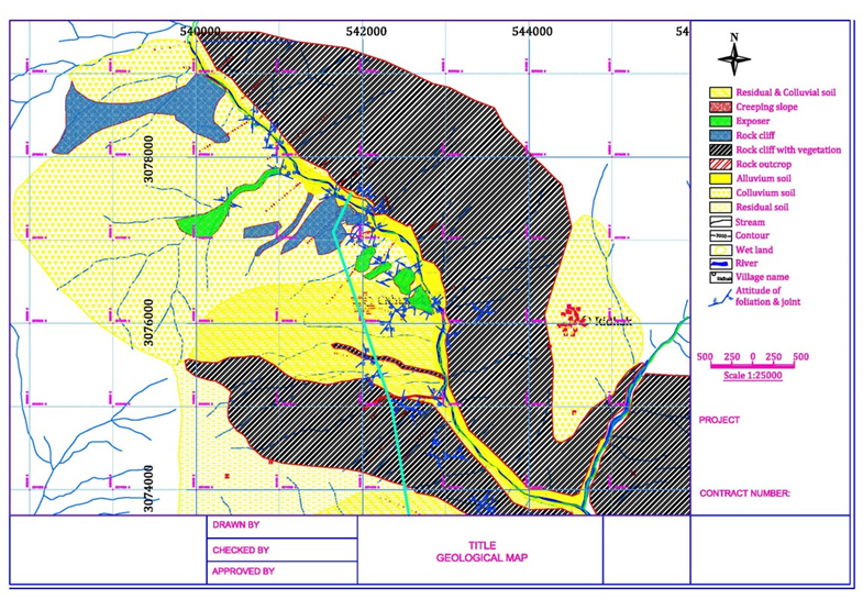
Geological & Engineering Geological Investigation
- Detailed geological and engineering-geological mapping at project-specific scales.
- Route alignment planning, cross-sections, and interpretative geological reports.
- Structural, stratigraphic, and petrographic analysis for design input.
- Drone-based photogrammetry and 3D terrain modeling.
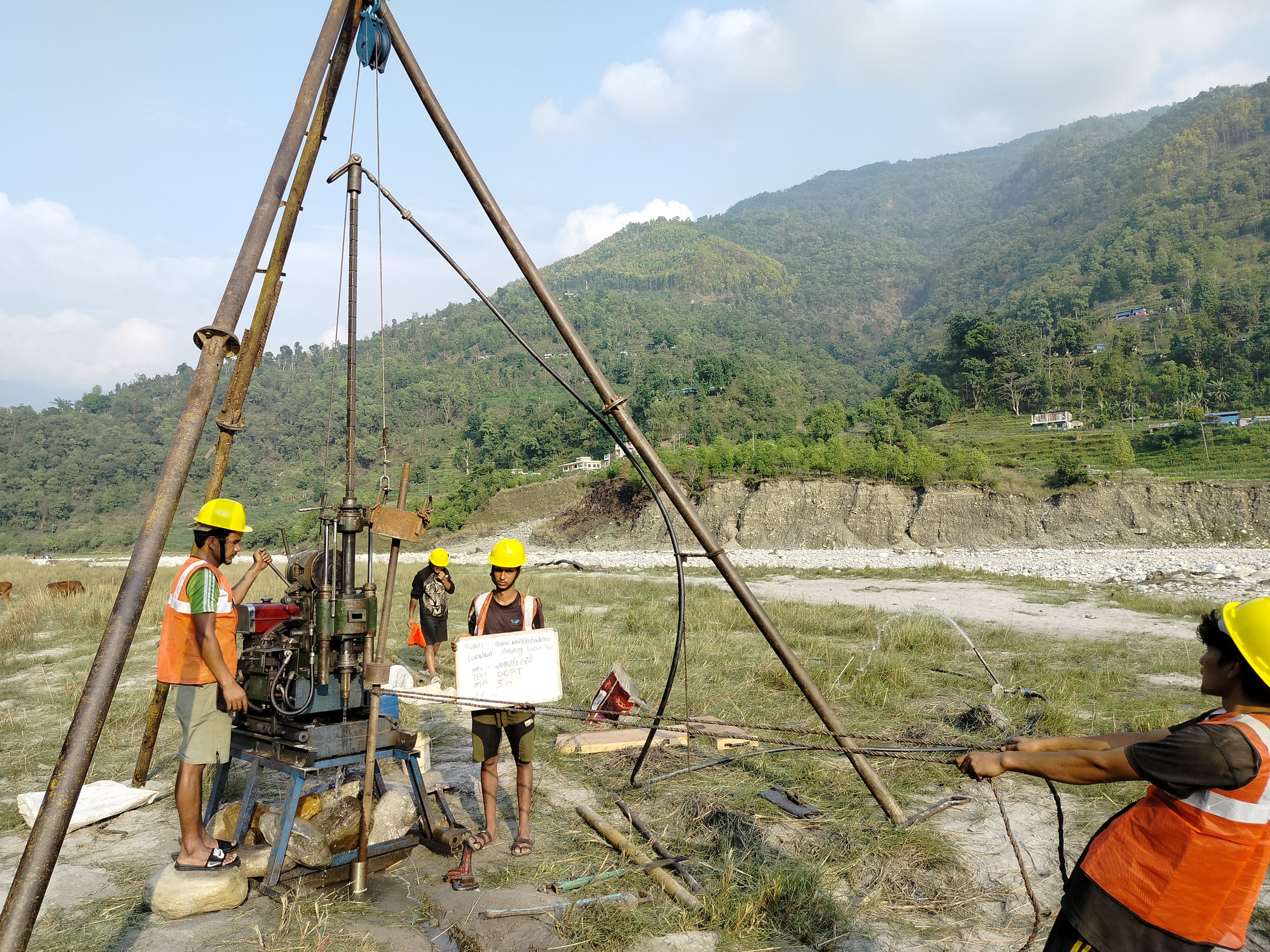
Geotechnical Investigation & Drilling Services
- Rotary-wash, wireline, and down-the-hole (DTH) drilling.
- Exploratory and confirmatory core drilling for hydropower, roadways, bridges, and tunnels.
- In-situ testing: Standard Penetration Test (SPT), Dynamic Cone Penetration Test (DCPT), permeability testing, and Lugeon testing.
- High-definition borehole imaging and detailed borehole logging.
- Laboratory testing for soil and rock index and strength parameters.
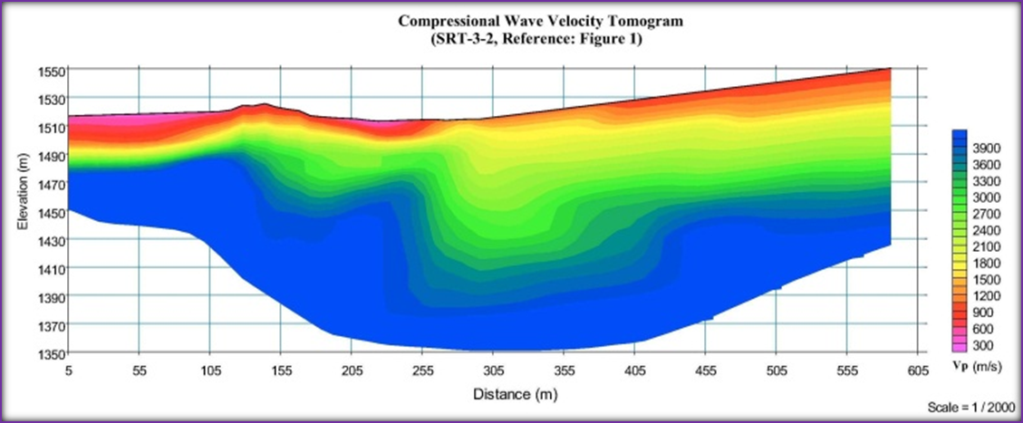
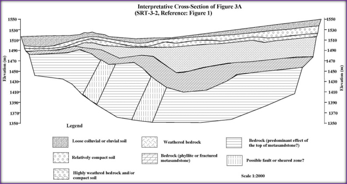
Geophysical Investigation
- Electrical Resistivity Tomography (ERT) for subsurface resistivity mapping.
- Seismic Refraction Tomography (SRT) and MASW for elastic property evaluation.
- Microtremor Array Measurements (MAM) for site response analysis.
- Down-the-Hole (DTH) Seismic Survey for detailed velocity profiling.
- Integration of multi-method geophysics for 1D, 2D, and 3D subsurface models.
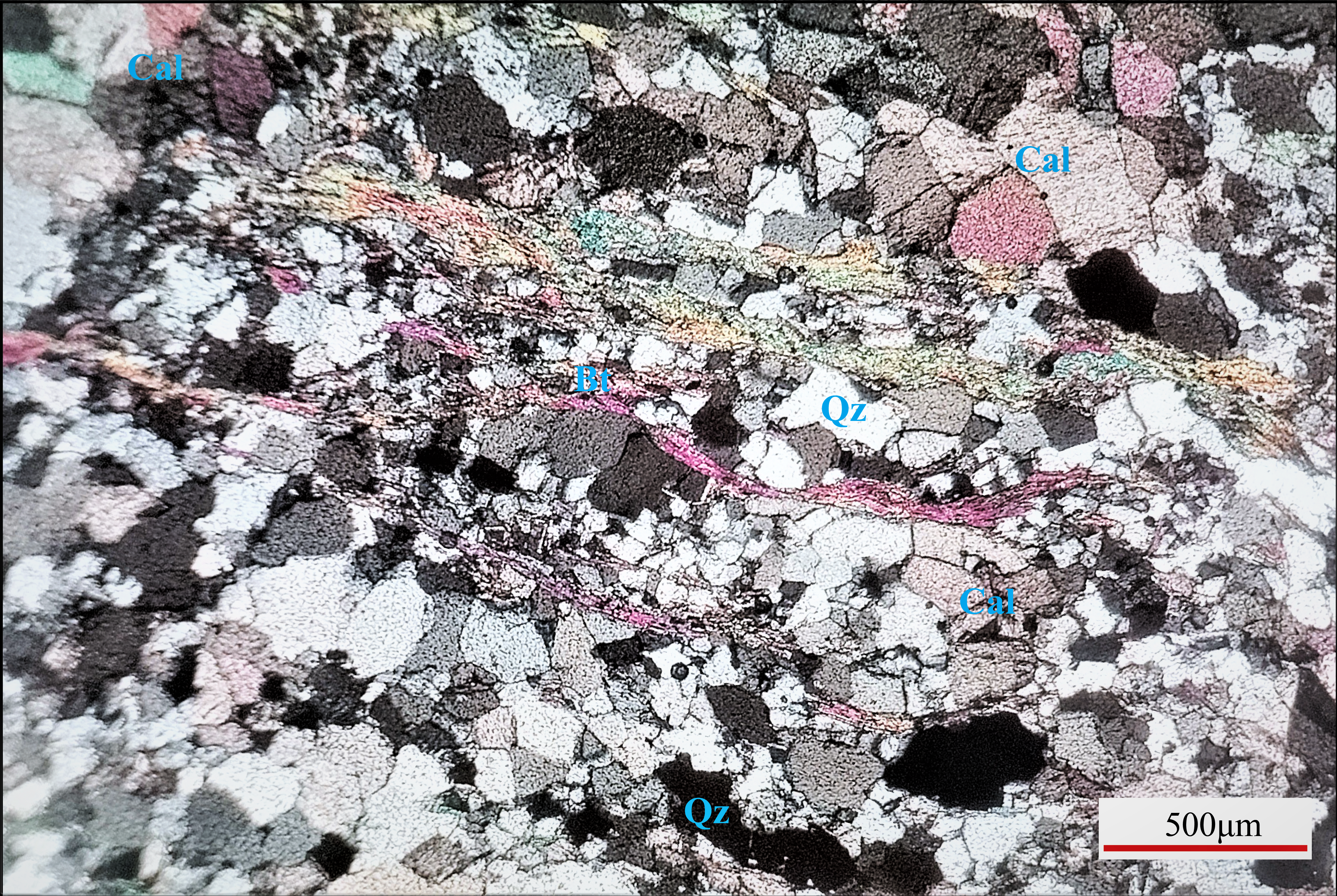
Geochemical Survey and Analysis
- Petrographic Analysis
- Atomic Absorption Spectroscopy (AAS)
- X-Ray Diffraction (XRD)
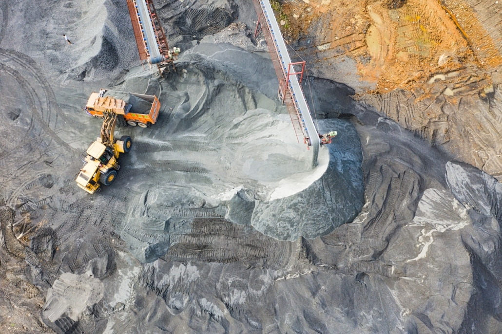
Mineral Exploration & Mining Support
- Geological mapping and exploratory core drilling for mineral resources.
- Borehole logging and reserve evaluation.
- Excavation design for safe, efficient, and compliant mining operations.
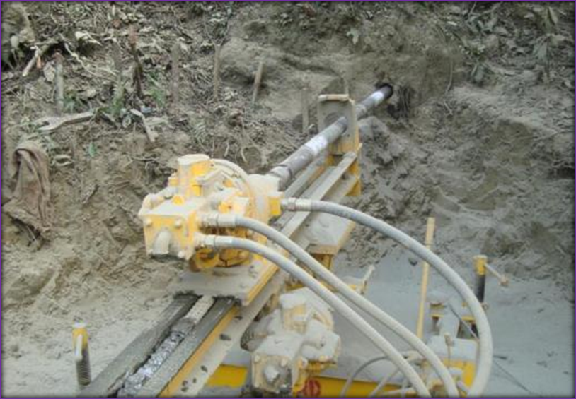
Remedial Design, Slope Stabilization & Ground Improvement Solutions
- Road and hillside slope stabilization measures.
- Landslide Mapping and Flood Hazard Analyss
- Landslide and erosion control through bio-engineering, retaining structures, and drainage.
- Jet grouting, pile foundations, and anchoring systems for ground stabilization and improvements.
- Horizontal directional drilling for slope and foundation works.
- Pile foundation installation for bridges, towers, and heavy structures.
- Tube well installation for water supply and dewatering.
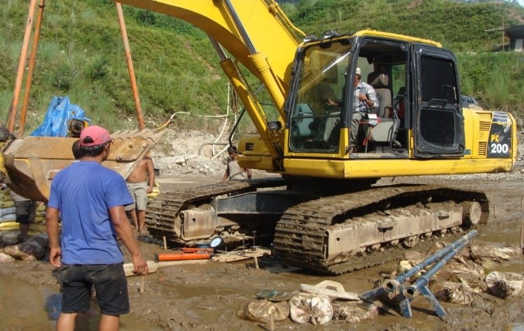
Survey & Feasibility Studies
- Geological, topographical, hydrological, and soil surveys.
- Feasibility studies for infrastructure, hydropower, and urban development.
- Market analysis, socio-economic assessment, and environmental studies.
- Risk and hazard assessment for slope stability, seismic hazards, and flooding
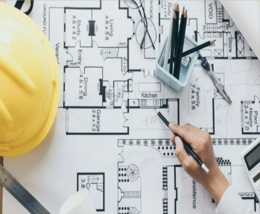
Engineering Design & Construction Supervision
- Foundation and slope stability design.
- Retaining wall, ground anchor, and soil nailing system design.
- Cost estimation, preparation of contract documents, and bid evaluation.
- On-site quality control and construction supervision for geotechnical works.
